

1,030,649
Trees planted

317,439
Tonnes of carbon reduced
Juniper is building custom, premium products for creators. We bring brands to life through personalized, collaborative design and help creators connect with their communities.


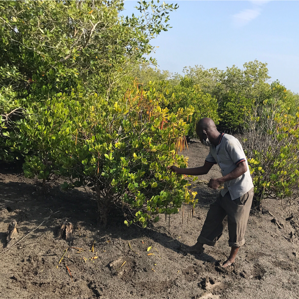
Mozambique
Since 2001, Mozambique has lost more than 3.5 million hectares of forest. That’s an area more than a third the size of Portugal.
With charcoal production and the need to create fires to survive, over 70% of Mozambique's population rely on its forests to survive — it’s the lifeblood for its citizens' social and economic wellbeing. Unfortunately, this has allowed the illegal practice to thrive until only a few years ago when the government took action to stop it.
Restoring these decimated Mangrove and coastal forests of Mozambique is absolutely vital to the future of the country. It will create new habitats for endangered animal species – like the Yellow-nosed Albatross – subdue erosion, improve the soil and water quality to increase farming yields to create economic benefits the county needs.
See Map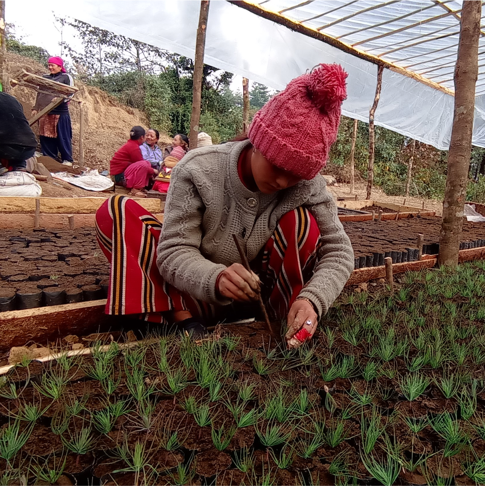
Nepal
The Lape planting site comprises 280 hectares of degraded tropical and subtropical forest in the Nawalpur District of Nepal.
Nawalpur District’s landscape is diverse, ranging from the lowland Terai plains to peaks over 1,500 meters in the Churia Hills. The Churia Hills are a transition zone from the lowland Terai plains to the Himalayas.
The nearby villages of Bhadaure, Ruchang, and Naram are home to approximately 400 people, most of whom belong to the indigenous Magar, Gurung, and Chhetri ethnic groups and whose traditional livelihood is livestock farming. The Churia Hills are a working landscape composed of tropical and subtropical forests interspersed with traditional terraced agriculture. The primary drivers of deforestation in this area are landslides on hillslopes, illegal logging for external markets, and over- dependency on fuelwood
See Map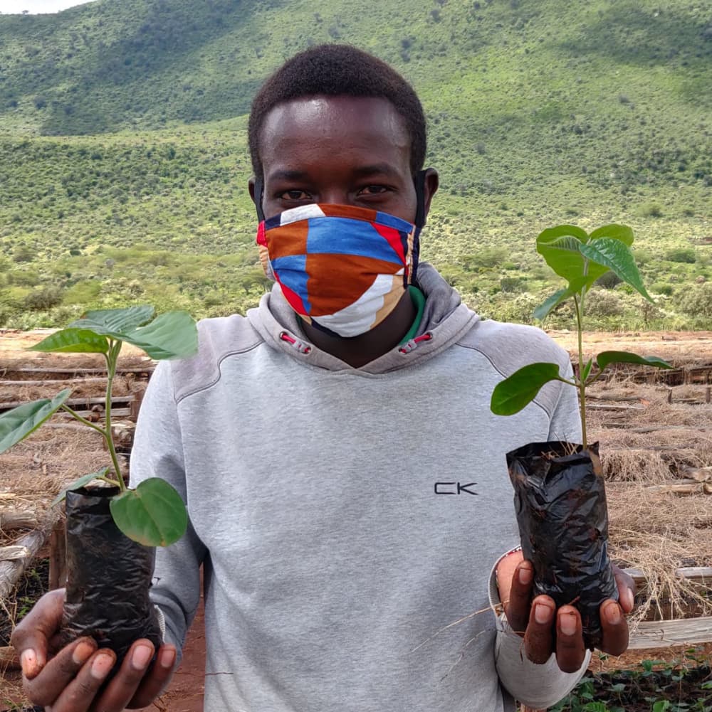
Kenya
Today only 7.4% of Kenya is covered in forests, down from 18% only a few decades ago.
Much of the remaining forests are surrounding Mount Kenya, the second highest mountain in Africa. Tragically, this surrounding former-fertile land is quickly turning into desert due to agriculture, timber harvesting and charcoal burning. These practices are the reason why 1/3 of Kenya's trees have disappeared in the first place.
Since the forests help to retain a mountain's natural water, many of Kenya's rivers have seen a large decrease in water flow over the last few years. This leads to farmlands becoming infertile and an increase in the rate in which ecosystems – like mangrove systems in estuaries – are destroyed. The result is food and water shortages, directly impacting the people living in the surrounding villages.
See Map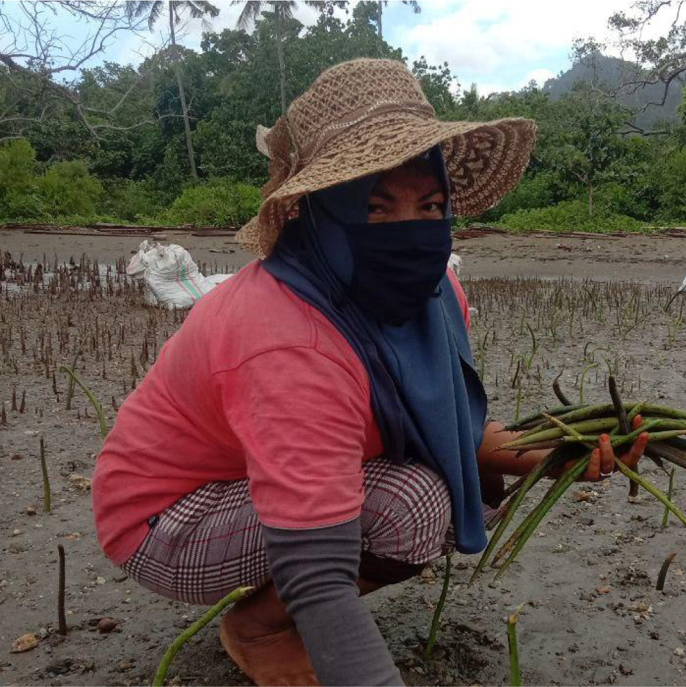
Indonesia
An area of degraded mangrove forest measuring 506 hectares along the coast of Biak Island in northeastern Indonesia. Biak Island is a small island situated north of mainland Papua (New Guinea).
The interior of the island is covered by lush tropical rainforest, while mangrove forests line the coasts. The forests of Biak provide habitat for endemic mammal and bird species and have significant benefits for local communities and livelihoods.
Local people rely on healthy mangroves to support fisheries, provide timber, and protect against the impact of tropical storms and coastal erosion. Coastal mangroves act as a barrier between waves and land, mitigating the disastrous effects of large waves.
See MapAt Our Forest, our mission is to positively impact our Earth’s climate, wildlife, and biodiversity through global reforestation. We strive to make reforestation an intrinsic part of every business. Together we can grow forests and create a better future for everyone.