

12,133
Trees planted

149
Tonnes of carbon reduced
Run ↟ Hike ↟ Gym ↟ Yoga ↟ Be Wild ↟ Give Back ↟ ♳ Be unrestrained in the pursuit of your wildest dreams Woman-owned • Made in Canada • Carbon-neutral We proudly plant a tree with every order to help restore nature and create jobs for people facing extreme poverty.


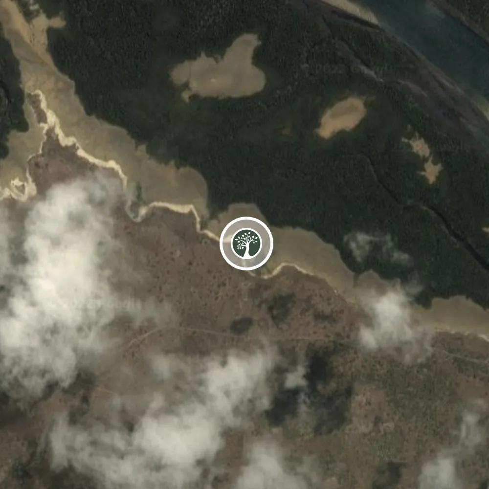
Kenya
This site is located within the greater Milihoi channel in Lamu county. It is near Lamu Town, a UNESCO World Cultural Heritage site with an incredibly rich history. It has mangrove estuaries which are vital to the area’s ecologically diverse bird and marine life.
This area faces a number of challenges, including insufficient social services, very little freshwater, underdeveloped infrastructure, and food shortages. Reforestation work in this region restores mangrove estuaries and helps the local economy reduce food and water insecurity.
This project is part of larger work with regional and national government institutions and the surrounding agricultural and pastoral communities to restore critical forests across Kenya.
See Map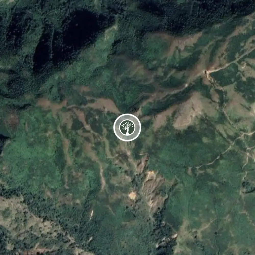
Nepal
The Lape planting site comprises 280 hectares of degraded tropical and subtropical forest in the Nawalpur District of Nepal.
Nawalpur District’s landscape is diverse, ranging from the lowland Terai plains to peaks over 1,500 meters in the Churia Hills. The Churia Hills are a transition zone from the lowland Terai plains to the Himalayas.
The nearby villages of Bhadaure, Ruchang, and Naram are home to approximately 400 people, most of whom belong to the indigenous Magar, Gurung, and Chhetri ethnic groups and whose traditional livelihood is livestock farming. The Churia Hills are a working landscape composed of tropical and subtropical forests interspersed with traditional terraced agriculture. The primary drivers of deforestation in this area are landslides on hillslopes, illegal logging for external markets, and over- dependency on fuelwood
See Map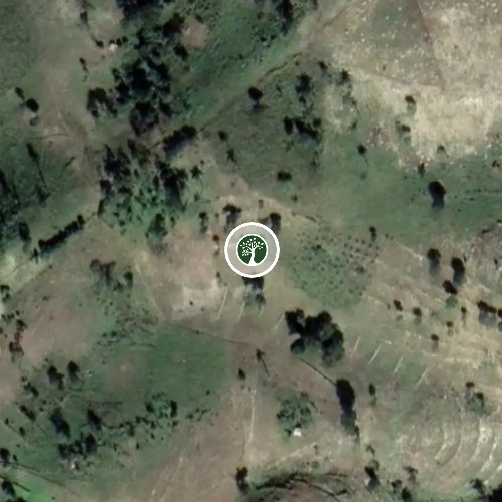
Haiti
This agroforestry nursery is located in the Belanger community in northern Haiti. Located where the Noir and Massif du Nord Mountain ranges meet the Artibonite Plains of Gonaïves, this region has a dry, neotropical climate with sparse tree cover and rugged topography.
Many forests were initially cleared for logging, grazing, and agriculture during the colonial period, with the intensification of unsustainable charcoal production practices accelerating deforestation in recent years.
The resulting land degradation has had cascading effects on the environment, agricultural productivity, and local livelihoods. Declining soil fertility and topsoil erosion lower farm productivity and can lead to complete farm failure.
See Map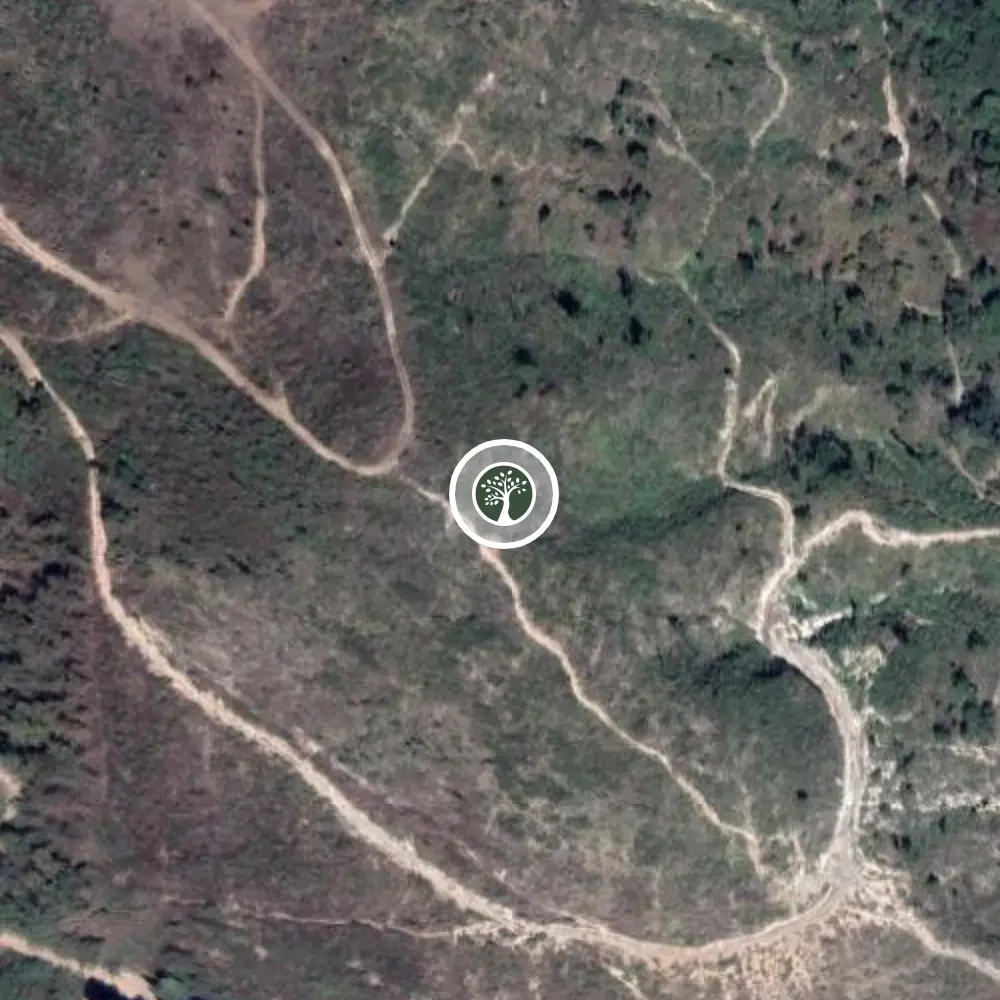
Guatemala
Guatemala is a country rich in culture and biodiversity. Unfortunately, farming in small Maya communities often involves using slash-and-burn techniques. This causes a destructive cycle of mudslides, massive soil erosion, and results in poor crops and malnutrition.
Through our work with our partner AIR, indigenous Maya communities are provided with a comprehensive reforestation and regenerative farming program. This gives them the education and resources to restore degraded land and improve food production.
This community-based reforestation model results in reduced mudslides, improved water quality, increased biodiversity, improved access to food and nutrition, and critical education so these communities can sustainably farm their land.
See MapAt Our Forest, our mission is to positively impact our Earth’s climate, wildlife, and biodiversity through global reforestation. We strive to make reforestation an intrinsic part of every business. Together we can grow forests and create a better future for everyone.